Saturday, January 15, 2005
Jon and Bob's 2004 backpacking trip, September
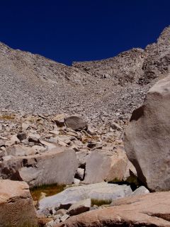
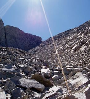
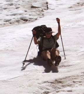
This trip followed the High Route north to join the Muir trail just south of Mather Pass, then south on the Muir trail to Paradise Valley, thence back to Cedar Grove. We recommend this trip for its scenery, but only to people who really like to clamber over chunks of granite arranged loosely at their angle of repose. Roper describes Frozen Lake Pass as “one of the two or three most difficult parts of the High Route.” We concur. An easier way to do this trip would be to follow the old route of the Muir Trail over Cartridge Pass into the canyon of the South Fork of the Kings, then up the river to the Muir Trail. The people we met in Lake Basin—and the ranger based at Bench Lake—were incredulous that we chose Frozen Lake Pass instead. It built Character.
The itinerary (accelerated trip):
Departed from Cedar Grove, 5200’
Camp 1: Grouse Lake, 10, 469’
Camp 2: Lower State Lake, 10, 250’
Camp 3: Shelf above Marion Lake, 10, 500’
Camp 4: Upper Basin, 11,000’
Camp 5: Woods Creek, just above the junction with its south fork
Back to Cedar Grove, thinking constantly about our meal at In-n-Out burger in Fresno…

The eponymous Frozen Lake. Not frozen on our trip, thanks to (1) global warming, (2) low snow season, (3) late in the season.


